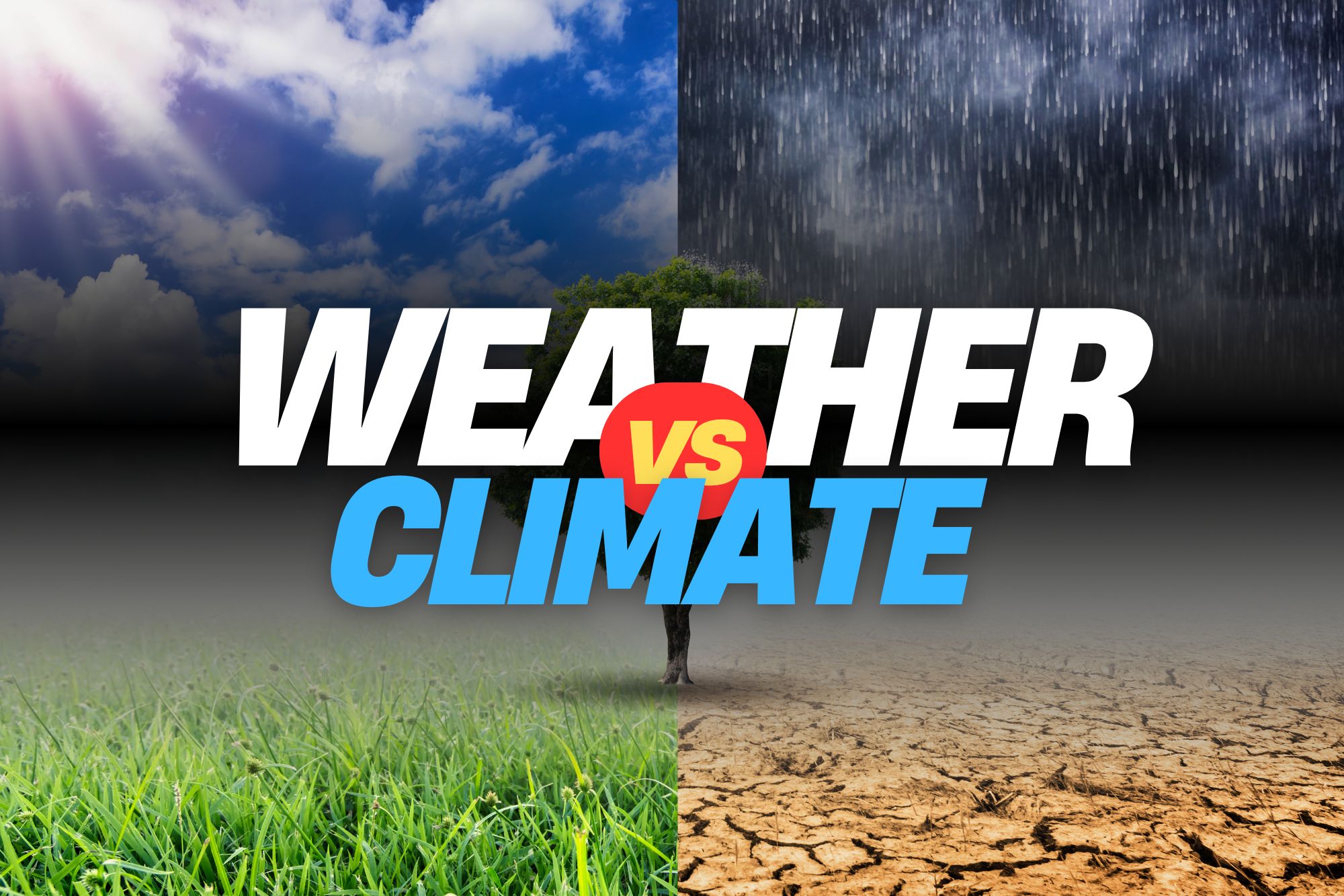
Weather Whys Podcast Episode 8 – Weather vs. Climate – What’s the Difference?

The Weather Whys Podcast
Weather Whys Podcast Episode 8 - Weather vs. Climate - What's the Difference?
Loading
/
[00:00:00] Welcome to another episode of The Weather Whys podcast, where we answer the whys and whats of weather. I’m your host, Ed Oswald, and today, we’re unraveling the often misunderstood difference between weather and climate, if you’re a weather enthusiast, or just curious about our planet, this episode is for you.

[00:00:16] Thanks for joining us. So, what is weather? In simple terms, weather refers to the short term atmospheric conditions we experience on a day to day basis. Think about the temperature, humidity, precipitation, wind, and visibility you encounter every time you step outside.

[00:00:35] Weather is highly variable, and can change from sunny to stormy in a matter of minutes.

[00:00:41] Climate represents the long term patterns of weather in a particular area. When we talk about climate, that’s the average conditions and trends over decades, even centuries. For instance, the National Weather Service averages temperature and precipitation records over 30 year periods to determine the climate normals for a location.

[00:00:57] Time is a key difference between weather and climate. Weather is all about the short term, minutes to weeks. It’s the rainstorm that ruins your picnic, or the heatwave that has everyone flocking to the beach.

[00:01:08] Climate, however, is the long term picture, encompassing years to millennia. It’s the gradual shift in seasonal patterns, or the stable average temperatures you can expect over decades.

[00:01:19] Weather is also variable. One day it’s sunny and people are outside enjoying it. The next day it rains.

[00:01:26] On the other hand, climate is relatively stable and changes slowly over long periods. We measure weather with instruments like weather stations and satellites. Climate is analyzed using historical data, climate models, and long term trends to understand the patterns.

[00:01:40] That’s still pretty technical, so let’s look at some real world examples. Weather is what you experience when a thunderstorm rolls through. It’s immediate, it’s tangible, and it directly affects your daily life. Should you carry an umbrella, wear a jacket, or reschedule that outdoor event?

[00:01:57] Now, consider a Mediterranean climate.

[00:01:58] It’s characterized by hot, dry summers and mild, wet winters. This climate pattern influences everything from the types of crops grown to the architecture of homes designed to stay cool in the heat.

[00:02:09] Understanding these patterns helps us plan for agriculture, manage water resources, and adapt to seasonal changes.

[00:02:15] Understanding weather is crucial for our daily lives. It helps us plan our activities, stay safe during extreme events, and make informed decisions based on short term forecasts. On the flip side, understanding climate is vital for long term planning.

[00:02:29] It impacts our agriculture, conservation efforts, and policy making. In the context of global issues like climate change, grasping the difference between weather and climate is essential. It helps us appreciate the urgency of sustainable practices and the need for informed environmental policies.

[00:02:44] One question you may have is if weather isn’t climate, then how does climate change affect weather?

[00:02:51] It’s important to remember in this context that a changing climate also means changing weather patterns. Climate change doesn’t just make a strong hurricane even stronger, but leads to long term changes in all kinds of weather.

[00:03:04] Often we focus on the most extreme weather events as evidence, but there’s proof of it in everyday weather.

[00:03:09] For example, research has shown that heavy rainfall events have become more common, and nighttime temperatures are trending warmer. Those long term changes in how the climate operates trickles down into individual weather events.

[00:03:21] We hope our explanation of these two often confused terms, helped you understand the difference. But that’s all the time we have for today’s topic. Check our show notes for more resources to learn more.

[00:03:32] Before we go, we wanted to quickly remind everyone that Prime Day is coming up. If you’re looking for a home weather station, this is a great time to pick one up. Be sure to follow us at the Weather Station Experts. That’s all one word on YouTube, Pinterest and TikTok on Instagram and now Threads. We’re at weather station experts. We’ll be on YouTube and TikTok frequently, so be sure to follow so you don’t miss any of the deals.

[00:03:56] We’ll also have a special episode of the WeatherWise podcast the Friday before Prime Day.

[00:04:01] Prime Day has just been announced as July 16th and 17th, so that episode will

[00:04:05] be on Friday, July 12th. You can visit our deals pagee using the short link. W x l dot i n k forward slash w w prime day all one word.

[00:04:17] We’ll include that link in the show notes. Thanks for joining us.

[00:04:22] Weather Whys is a production of the Weather Station Experts and the Weather Whys Company. Today’s episode was produced by Derek Oswald and myself from our studios here in West Lawn, Pennsylvania. If you’d like to learn more about Weather Whys, please visit our website at weatherwhys that’s W H Y S dot show.

[00:04:41] Our website has links to this episode and past episodes.

[00:04:44] We’d also love to hear from you. You can email us at [email protected]. We may respond to your comments in a future podcast. Don’t forget to subscribe wherever you listen to podcasts. Again, thanks for listening, and as always, stay weather wise.

In this episode of The Weather Whys podcast, host Ed Oswald explains the often misunderstood differences between weather and climate. Weather refers to short-term atmospheric conditions that change frequently, while climate represents long-term patterns over decades or centuries. Ed highlights how weather impacts daily life and how climate influences long-term planning and global issues like climate change.

Key Points

  • 00:00 Introduction to The Weather Whys Podcast
  • 00:22 Defining Weather: The Short-Term Atmospheric Conditions
  • 00:41 Understanding Climate: The Long-Term Weather Patterns
  • 00:58 Key Differences Between Weather and Climate
  • 01:41 Real-World Examples of Weather and Climate
  • 02:15 The Importance of Understanding Weather and Climate
  • 02:44 Climate Change and Its Impact on Weather
  • 03:22 Conclusion and Additional Resources
  • 03:33 Prime Day Announcement and Special Episode
  • 04:20 Closing Remarks and Contact Information

Weather Whys Podcast Episode 7: How Changes in Earth’s Orbit Affects Our Climate

The Weather Whys Podcast
Weather Whys Podcast Episode 7: How Changes in Earth’s Orbit Affects Our Climate
Loading
/

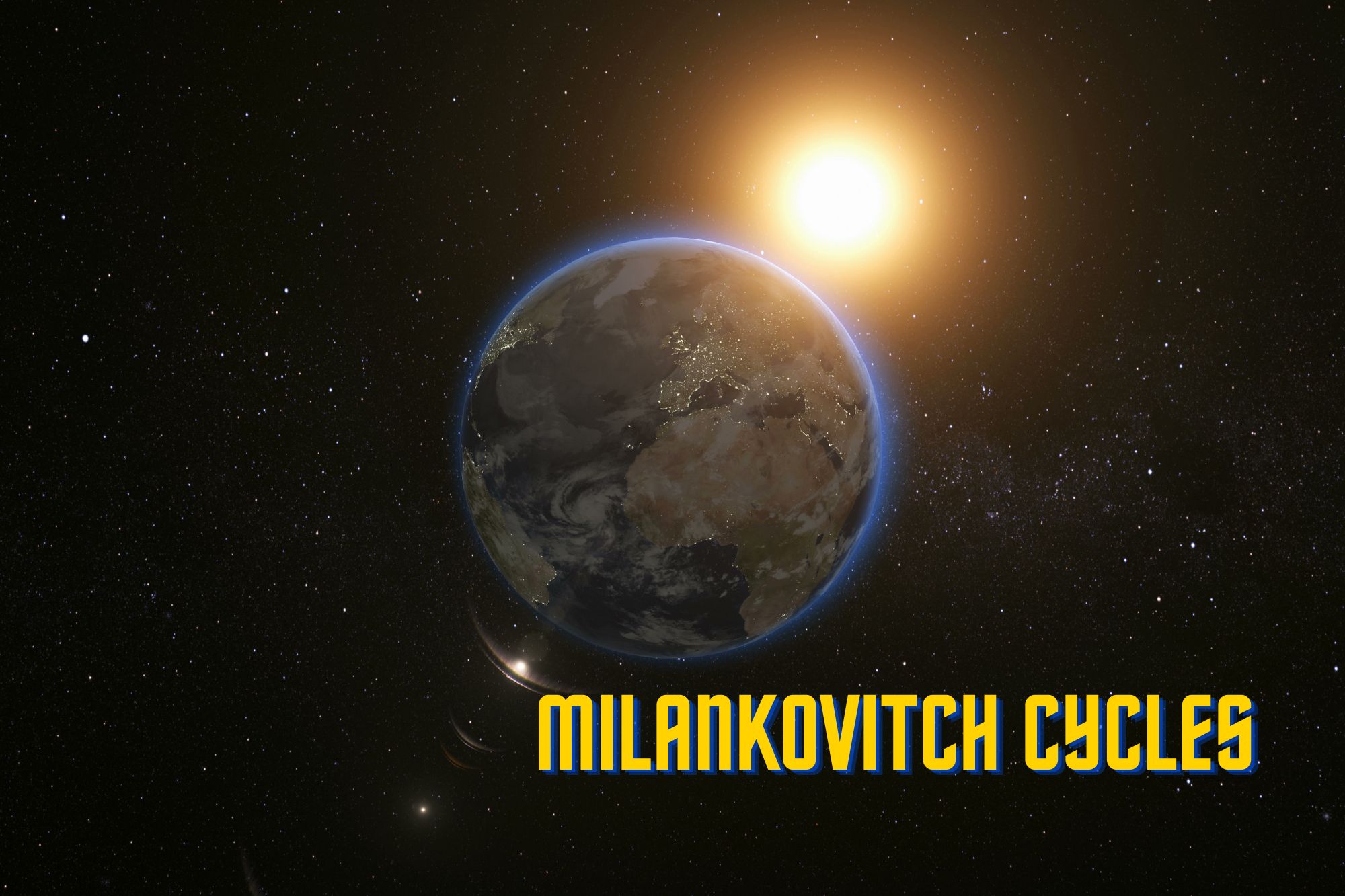
In this episode of the Weather Whys Podcast, host Ed Oswald delves into the fascinating topic of Milankovitch cycles—patterns in Earth’s rotation and orbit that drive long-term climate change. Learn about the Earth’s axial progression, obliquity, and eccentricity, and discover how these cycles impact seasonal contrasts, global warming, and historical climate events.

Explore the intriguing hypothesis linking these cycles to human evolution, and understand why they are not responsible for current climate change. Tune in to grasp how these massive celestial patterns shape our planet over tens of thousands of years.

[00:00:00] While it might not play a role in our day-to-day weather, changes in the Earth’s rotation and orbit around the sun affect our long-term climate. Did you know that the Sahara desert was once a rainforest? Or that Greenland was once regularly ice-free?
[00:00:13] This is the weather-wise podcast. I’m your host ed Oswald. And in this episode, we’re going to explain how that was, and why that will be possible again in the far distant future. Stay tuned. We have a great episode ahead.
[00:00:25] We take the seasons for granted. Winter becomes spring, spring turns to summer, and summer leads to fall. These changes are a result of the Earth’s orbit around the sun, which happens every 365 days.
[00:00:42] But what if I told you the Earth’s orbit isn’t constant? It’s true. Over long timescales, our planet’s orbit and tilt changes. It’s way too small to detect it in a human lifetime, but on geologic timescales, there’s a pattern.
[00:00:55] These patterns are called the Milankovitch cycle Named after Serbian scientist Milutin Milankovitch. He was the first to theorize that the Earth’s orbit on its axis and around the sun changes over time.
[00:01:07] Milankovitch’s findings suggested earth’s orbit changes in one to three ways with progressively longer timescales, wobble, tilt, and orbital shape, or in scientific terms, axial progression, obliquity, and eccentricity.
[00:01:22] The shortest of these it’s axial progression, or our planet’s wobble. Let’s use a spinning top to illustrate this. As it spins, the top wobbles in a circular pattern. Planets do the same thing, just much slower. Our planet takes 26,000 years to complete a rotation.
[00:01:38] The next cycle is obliquity or the amount of tilt that the earth rotates on its axis. over 41,000 years, this tilt varies between 22.1 and 24.5 degrees. This changes the amount of sunlight that the Earth’s surface sees.
[00:01:54] Using the spinning top analogy again, it’s like somebody spun it at an angle. But we’ll have to ditch this analogy for the longest and final cycle, eccentricity.
[00:02:02] Eccentricity is how circular an orbit is, with zero being a perfect circle. Our orbit varies from almost circular to slightly more oval shaped and then back to circular again for a hundred thousand year periods.
[00:02:15] Now that we’ve explained these cycles, let’s put these together in climate terms.
[00:02:19] Planetary wobble affects how extreme the contrast between seasons are. right now, seasons are more extreme in the Southern hemisphere. around 13,000 years from now, the opposite occurs, and seasons become more extreme in the Northern hemisphere.
[00:02:33] The Earth’s tilt may help moderate that, though. When tilt is larger, more sunlight in summer reaches the surface when it’s tilted towards the sun, and less in winter. Right now, the Earth’s tilt is roughly at average science believe the Earth’s tilt is decreasing, however, which will make seasons milder over the next 10,000 years.
[00:02:51] Orbital shape also plays a role in seasonal extremes. Within nearly circular orbit, seasons are generally mild. However, in about a hundred thousand years, the Earth’s orbit will be considerably more elliptical. As a result, the earth receives 23% more sunlight at its closest approach, causing extreme changes between seasons.
[00:03:11] One thing is certain, however: Milankovitch cycles are not the cause of current climate change. Its cycles are too long to explain current changes. However it is a driver of natural change, and one of the reasons why some parts of earth planet change from less rainforests to deserts and a matter of few thousand years, this happens in the Sahara desert. The Earth’s ice ages and their cyclical nature are also thought to be caused by changes in the Earth’s orbit as well. There’s even research supporting the hypothesis that a Milankovitch cycles may have helped human evolution, too.
[00:03:42] However, these cycles are most notable in long-term natural climate change. They seem to explain some, but not all, of these cycles. So, where is the earth headed climatologically over the next one, 10, a hundred thousand years? Scientists have several theories. In general, seasons will moderate overall in the short term, and the planet will continue to warm.
[00:04:04] But this happens on such a long timescale, perhaps tens of thousands of years, that our ecosystem will slowly adapt. That isn’t what’s happening now, where climate change happens in a matter of decades.
[00:04:15] As we move further into the future, the Earth’s tilt will lessen, bringing more sunlight to the poles. The rainforest will move northward as well, bringing deserts to life.
[00:04:25] But at some point tens of thousands of years from now, these trends will be overpowered by a much more elliptical orbit, which may trigger the dawn of a new ice age.
[00:04:33] Luckily humankind has a long time before that becomes possible..
[00:04:37] The Milankovitch Cycles are only a part of our complex climate system. However, understanding how Earth’s rotation and orbit changes with time Allows scientists to better understand our planet’s cyclical climate patterns.
[00:04:50] This was a pretty detail heavy episode, so we have plenty of links in our show notes for you to read further on today’s topic. We’ll certainly return to the subject of climate cycles again in the future, but that’s all the time we have for this episode. We hope you learned something today.
[00:05:05] Weather Whys is a production of The Weather Station Experts and the Weather Whys company. Today’s episode was produced by Derek Oswald and myself from our studios here in West Lawn Pennsylvania. If you’d like to learn more about Weather Whys, visit our website at weatherwhys that’s w H Y s.show. We’d also love to hear from you. You can email us at [email protected].
[00:05:27]
[00:05:27] On our website, you can listen this episode or any past episode. Don’t forget to subscribe to weather-wise wherever you listen to podcasts, you can find those links to apple podcasts, Spotify, iHeartRadio, and more on our homepage. That’s all for today. And as always, stay weather-wise.

Key Points

  • 00:00 Introduction to Earth’s Climate Changes
  • 00:55 The Milankovitch Cycles Explained
  • 02:15 Impact of Milankovitch Cycles on Climate
  • 03:51 Future Climate Predictions
  • 04:38 Conclusion and Further Reading

Show Notes

Weather Whys Podcast Episode 6: Best Weather Stations of 2024

The Weather Whys Podcast
Weather Whys Podcast Episode 6: Best Weather Stations of 2024
Loading
/

In this episode of the Weather Whys Podcast, we talk home weather stations! Host Ed Oswald from The Weather Station Experts reviews the top five home weather stations for 2024.

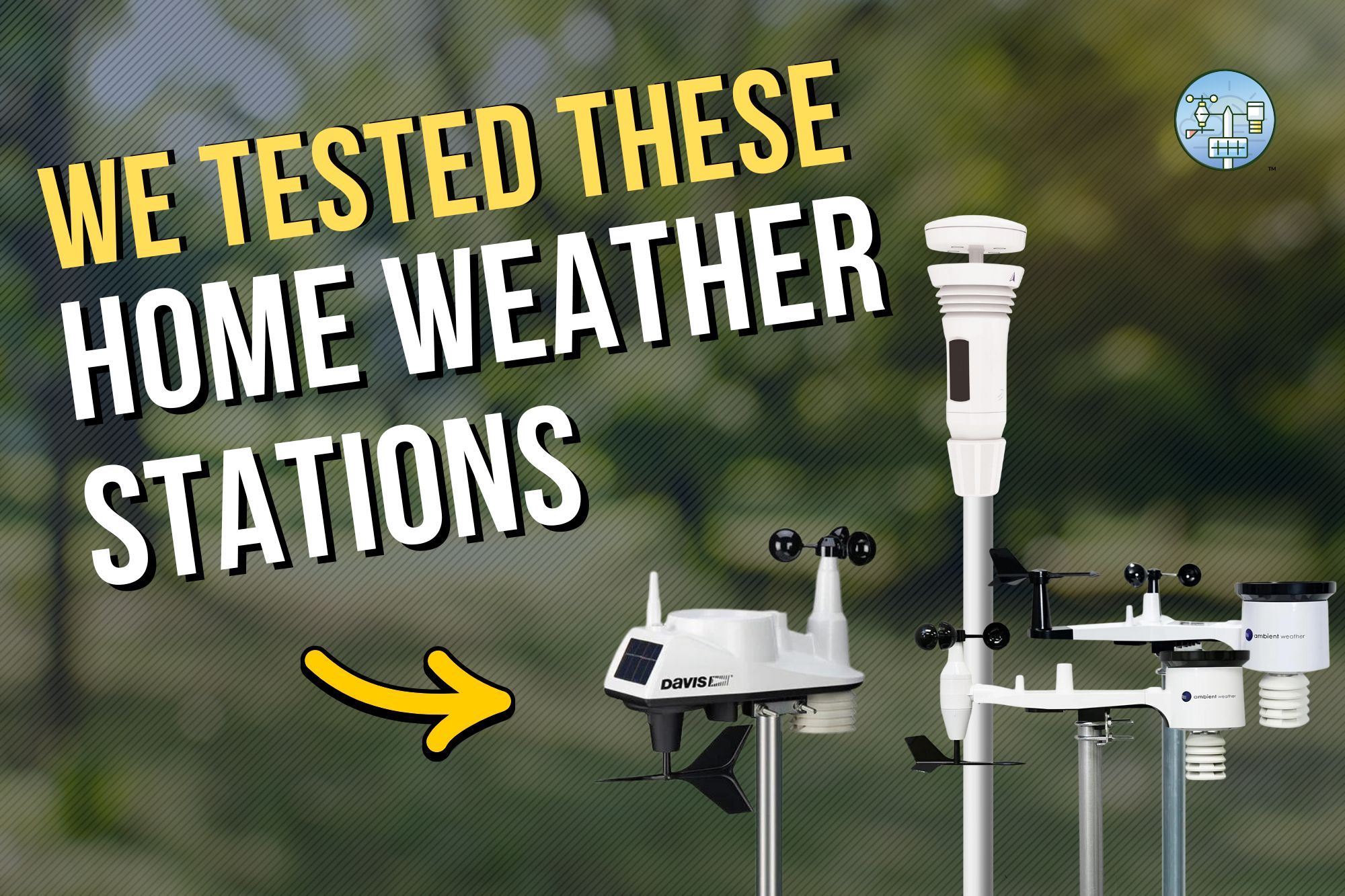
The top five stations include the budget-friendly Ambient Weather WS-1965, the durable Davis Vantage Vue, the versatile Ambient Weather WS-5000, the high-tech Tempest Weather System, and the highly accurate KestrelMet 6000.

[00:00:00] A home weather station is a great way to keep track of your backyard weather. Hi, I’m Ed Oswald and you’re listening to the Weather Whys podcast. In this episode, we’re talking about the best home weather stations on the market. If you’ve been thinking about purchasing one, stay tuned.
[00:00:14] Thanks for joining us. This episode is one of a few this season where we’ll veer a bit from the educational side to share with you some of our expertise. As is obvious from the name of our website, The Weather Station Experts, weather stations are our focus.
[00:00:32] We can understand if you’re a little skeptical about trusting a new podcast’s recommendations. However, we’ve been on the web for over three years, and have reviewed nearly a dozen models in that time
[00:00:43] Our reviews are based on real world tests we’ve conducted. We judge all products we review weighted based on what our readers most commonly look for.
[00:00:51] Accuracy and value each account for 25% percent of the score, while durability accounts for 20%. The remaining 30% percent is split evenly between feature set and ease of use.
[00:01:01] A station must not only be accurate but demonstrate value to score high on our metrics. We decided to look at the amount of functionality you get for the price, instead of just the price alone.
[00:01:11] Weather stations are generally expensive, but in some cases to get good accuracy, you’ll need to pay more.
[00:01:17] However , that’s not always the case. We have options on our list for every budget. I recommend you follow along with the show notes, that has a lot more information on all of our picks. Let’s get started.
[00:01:30] We start off our list by revealing a brand new budget pick, the Ambient Weather WS-1965. We just received this station from Ambient Weather this spring, which is a replacement for the WS-1900. The station is basically the same as its predecessor, except now it has internet connectivity.
[00:01:47] While you won’t get the accuracy of other home weather stations, we think it is more than sufficient for most uses. Given our positive experiences with Ambient Weather, we’d recommend the WS-1965 over similar budget stations from AcuRite and La Crosse .
[00:02:01] While it might be aging,we still must include the Davis Vantage Vue in our picks . There’s a simple reason for it. Our Vantage Vue has been continuously operating since September, 2016. That’s nearly eight years. The biggest issue is price, and with the console, it’s now even more expensive.
[00:02:16] But it’s not only the durability that makes the difference, but the Vantage Vue’s accuracy, too.
[00:02:21] After eight years, we’re still not noticing any issues, meaning the sensors within are high quality. It’s also one of the few stations still manufactured in the U. S. At the company’s Hayward, California headquarters.
[00:02:32] At one point, the Ambient Weather WS-5000 was our top pick. However, since its launch several years ago, it has steadily increased in price. The station is still one of the most accurate home weather stations available, and the expandability makes it a better option for serious weather watchers.
[00:02:48] One key feature of the WS-5000 is the sonic anemometer, which is much easier to maintain.
[00:02:54] The reduction of moving parts also means fewer opportunities for something to fail, in theory should make the WS-5000 more durable over time.
[00:03:01] This year we have a tie at the top spot. Two stations stood out above the rest, though.
[00:03:08] The Tempest Weather System has quickly become one of the best selling home weather stations on the market, and for good reason. The station has absolutely no moving parts at all and can be installed in as little as 15 minutes.
[00:03:19] Unique to the Tempest is its haptic rain sensor, which measures rain through sensors located on the top of the device.
[00:03:26] The Tempest can be used to control your smart home devices. The lightning detection is also the best of any home weather station we tested, and even as other stations got dramatically more expensive, the Tempest Weather System has only increased by $10.
[00:03:39] Topping our list is the KestrelMet 6000. While Kestrel is better known for its handheld weather meters, the company last year introduced a fixed home weather station, which we are one of the first to review. Our experience has been nothing but positive, and the accuracy is outstanding.
[00:03:54] Fan aspiration around the temperature and humidity sensors and a large rain gauge with included bird spikes ensure accurate readings. The KestrelMet uses the Ambient Weather Network for connectivity, meaning all the smart home features of those stations are available to KestrelMet 6000 owners.
[00:04:09] We have plenty of links on our show notes for you to read further on today’s topic, but that’s all the time we have for this episode.
[00:04:15] Weather Whys as the production of The Weather Station Experts in the Weather Whys company. Today’s episode was produced by Derek Oswald and myself from our studios here in West Lawn Pennsylvania. If you’d like to learn more about Weather Whys visit our website at Weather Whys that’s w H Y S dot show.
[00:04:32] We’d also love to hear from you. You can email us at [email protected]. On our website, you can listen to this episode or any past episode. Don’t forget to subscribe to Weather Whys wherever you listen to podcasts, you can find those links to apple podcasts, spotify, iHeartRadio, and more on our homepage. That’s all for today. And as always, stay weather-wise.

Key Points

  • 00:19 About The Weather Station Experts
  • 00:46 Review Criteria and Methodology
  • 01:31 Budget Pick: Ambient Weather WS-1965
  • 02:01 Durability Pick: Davis Vantage Vue
  • 02:32 Top Pick: Ambient Weather WS-5000
  • 03:08 Best Selling: Tempest Weather System
  • 03:39 Top of the Line: KestrelMet 6000
  • 04:09 Conclusion and Additional Resources

Show Notes

For more on our best home weather station picks, see our full roundup here.

Full Reviews:

I didn’t mention it within the podcast, but the Ambient Weather WS-2902 remains our best value pick.

Weather Whys Podcast Episode 5: Tornado Alley is Shifting East. Here’s Why That Matters.

The Weather Whys Podcast
Weather Whys Podcast Episode 5: Tornado Alley is Shifting East. Here's Why That Matters.
Loading
/

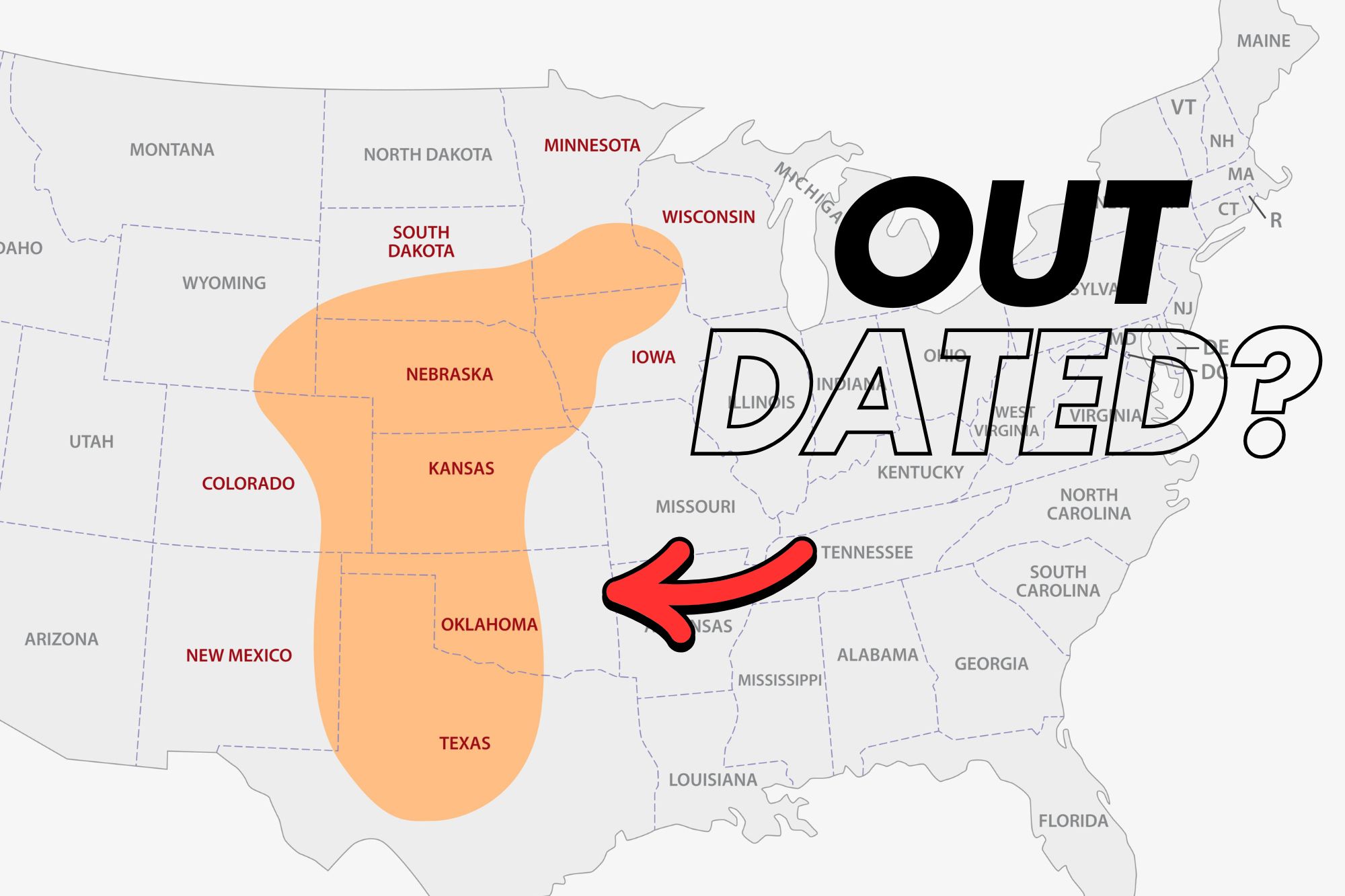
Is Tornado Alley shifting east? In this episode of Weather Whys, we delve into the shifting patterns of tornado activity in the United States. We thought this episode would be especially relevant with the traditional peak of tornado season upon us.

Tornado Alley has traditionally meant the Great Plains, but tornadoes are becoming more frequent in the Southeast US, moving towards more densely populated areas and starting earlier in the year. This episode discusses research findings on this eastward shift, links to climate change, the increased risk of damage in urban centers like Memphis and Nashville, and why this all matters.

This episode is a short one but on an important topic!

[00:00:00] Ed Oswald: “Tornado Alley” has long been associated with tornadoes, with May and June the busiest months. However, Tornado Alley is shifting towards the southeast U. S. and toward population centers. It’s also starting earlier than ever. What’s behind this shift? Hi, I’m Ed Oswald, host of the Weather Whys podcast. We’ll look into this in today’s episode.

[00:00:24] Thanks for joining us. So what is Tornado Alley? The term traditionally refers to an area roughly from South Dakota southward to north central Texas. However, tornadoes are becoming more frequent to the east and north.

[00:00:36] Scientists documented this eastward shift. A 2018 study found that tornado frequency generally decreased over The past four decades across Tornado Alley, while increasing to the east across the Lower Great Lakes, and into the Deep South.

[00:00:49] Northern Illinois University researchers found that supercells, the origin of most tornadoes, will become less frequent across Tornado Alley, and more frequent across the eastern U. S. as the planet warms.

[00:00:59] Others have noted the frequency of tornado outbreaks have shifted dramatically eastward since 1950, and they increasingly occur in clusters, or multiple tornadoes in the same area. Research also suggests tornadoes are now more common in the late winter and early spring, and less common in the late summer and early fall.

[00:01:17] The biggest consequence is a significant increase in damage risk. While people live in Tornado Alley, it’s far less densely populated than areas to the east.

[00:01:26] People used to worry about a tornado in downtown Dallas. These studies suggest downtown Memphis and Nashville are more likely to see one instead . Millions more Americans now live in an area where tornadoes are common.

[00:01:36] Is climate change to blame? Yes, but it’s complicated. Nationwide Doppler radar is a powerful tool for detecting tornadoes, even when there’s no one there to see them. This could be responsible for part of the increase.

[00:01:48] The Southeast U. S. is also far more populated as we mentioned, so tornadoes are easier to detect. Severe weather awareness is higher, and in our social media age, videos provide much faster confirmation of tornadic activity.

[00:02:01] But the increase is too significant to pin on these reasons alone. We can likely pin some of the blame on climate change. But is it natural or man made variability the cause?

[00:02:11] One school of thought suggests the uptick is part of an overall increase in severe weather across the U. S. due to climate change. Models have been forecasting this for years.

[00:02:20] However, others argue the variability may stem from bigger cycles, such as differences in Pacific sea surface temperatures. This could also be shifting Tornado Alley, but we don’t have enough data to make a clear judgment.

[00:02:31] No matter what the reason, is, the data suggests that Tornado Alley is no longer just limited to the Great Plains. It’s more important than ever to stay “weather aware.”

[00:02:39] When a tornado warning is issued, take it seriously. Head to an interior portion of the building or your home. If you hear the tornado approaching, get low and protect your head.

[00:02:49] A weather radio is also invaluable during severe weather. Our favorite is the Midland WR 120 NOAA Emergency Weather Alert Radio . It can receive weather alerts directly from the National Weather Service using SAME technology, which allows the weather radio to display the type of warning even after the broadcast message ends.

[00:03:06] That’s the easiest way to keep yourself safe and is far more dependable than the often incorrect weather app. Tornadoes happen quickly, and getting the warning early gives you time to prepare.

[00:03:15] We’ve included links in our show notes to this weather radio, as well as other reviews, but we hope we’ve given you a better understanding of why tornadoes seem to be more frequent and more destructive.

[00:03:23] Weather Whys is a production of the Weather Station Experts and the Weather Whys Company. Today’s episode was produced by Derek Oswald and myself from our studios here in West Lawn, Pennsylvania. If you’d like to learn more about Weather Whys, please visit our website at Weather Whys, that’s w h y s dot show.

[00:03:41] On our website, you can listen to this episode and any past episodes, and also get in touch with us. We’d love to hear from you. Don’t forget to subscribe to Weather Whys to get the latest episodes as soon as we release them.

[00:03:52] You can find those links to Apple Podcasts, Spotify, iHeartRadio, and more on our website as well. That’s all for today, thanks for listening, and as always, stay weatherwise.

Key Points

0:19 – What’s causing Tornado Alley to shift? The research
1:19 – The impact of this shift
1:38 – Climate change’s possible role

Show Notes

Quick plug: Be sure to like us on Facebook and subscribe to our YouTube channel!

We wrote an article about this very topic! Tornado Alley is Shifting East: What’s Happening?

The original study from 2018. The map from that study shows the increase across the Deep South (red), and the decrease in activity in Tornado Alley (blue).

Northern Illinois University study on supercells – https://newsroom.niu.edu/how-supercell-storms-might-change-this-century/

Even under a good emissions reduction scenario, supercells increase in nearly the same area as the 2018 study.

Another study pointing to the eastward shift – https://iopscience.iop.org/article/10.1088/2515-7620/ac50c1

US is experiencing more tornado outbreaks, despite fewer tornado days overall, researchers say – ABC (US), includes video

The increase in tornado counts could be a function of a more “weather-aware” society, but climate change could be playing a role. It’s complicated, and the answer isn’t quite clear – Tornadoes and Global Warming: Is There a Connection?National Geographic

What we recommend: a weather radio. The Midland WR120 is perfect, and inexpensive too!

Weather Whys Podcast Episode 4: When is Hurricane Season Where You Live?

The Weather Whys Podcast
Weather Whys Podcast Episode 4: When is Hurricane Season Where You Live?
Loading
/

If you live near the East Coast, hurricanes are a fact of life during the summer and early fall for most. In this episode of Weather Whys, host Ed Oswald looks at the Atlantic hurricane season in detail. Where hurricanes are most likely to form shifts throughout the season, leading up to a dramatic peak during September.

[00:00:00] While hurricanes have formed in the Atlantic Ocean during every calendar month, June 1st is the official start of hurricane season. In this episode of the Weather Whys podcast, we’ll explore the hurricane season month by month.

[00:00:22] If you’d like to watch a video of this podcast episode instead, we’ve included that in the show notes. We’ve also included graphics for you to follow along.

[00:00:30] I’m Ed Oswald, host of the Weather Whys podcast. I’m glad you could join us. Let’s get started.

[00:00:35] Ed Oswald: Hurricane season begins in the Atlantic on June 1st and ends on November 30th. Activity begins in the late spring and increases dramatically through mid September. After this peak, things quiet down in the fall.

[00:00:49] An Atlantic hurricane season typically has 10 named storms, six of which become hurricanes, and three of those major hurricanes. That’s a storm that reaches category three or higher on the Safir Simpson scale.

[00:01:00] However, activity isn’t always confined to hurricane season. For example, every four seasons or so the first name storm occurs in may, and about once a decade, a storm develops as late as December, but most hurricane activity occurs between June and November.

[00:01:16] Now let’s take a look at what to expect month by month.

[00:01:19] We don’t look far from the coast for tropical development in June. Development is most likely in the Eastern Gulf of Mexico, especially if the waters are warm. These storms often start organizing in the warm waters of the Western Caribbean before pushing northward. Activity is light, with typically a single name storm during June.

[00:01:37] The effects of the summer sun on water temperatures are apparent in July, as more of the tropical Atlantic Springs to life. While the Gulf of Mexico remains favorable, storms also have commonly formed in The Bahamas and the Eastern Caribbean.

[00:01:52] Storm tracks become longer as more of the Atlantic warms above 80 degrees Fahrenheit, allowing these storms to turn over the open sea and intensify. The Western and central portions of the Gulf coast see an increase in activity, and the Southeastern us is now under threat.

[00:02:07] While much more of the Atlantic can support tropical development, July still remains quiet. Expect an additional named storm during this month, but things are about to change dramatically.

[00:02:16] Waters are warm enough over a large section of the tropics by August to support development almost anywhere. Storms form further and further away from land, giving them more time to gain strength.

[00:02:26] Long track storms start to develop. Areas like the mid Atlantic coast and especially the outer banks come under threat.

[00:02:33] An average August has two to three named storms.

[00:02:35] September is even busier. Offshore waters off the Mid-Atlantic are now warm enough to support tropical development, the Cape Verde islands off the west African coast become the area to watch, and there aren’t many areas we’re tropical development can’t occur.

[00:02:49] Typical tracks come in three groups: storms in the Caribbean often head for the Western and central Gulf coast while Gulf storms typically move northward into Florida and up the east coast.

[00:03:00] Long track storms typically turn out to sea well before land, but must be watched, especially if you live on the Southeast or mid Atlantic coast or on Bermuda.

[00:03:08] The peak of the hurricane season is September 10th, and it’s not uncommon to see all of the three or four named storms that formed during the month, all churning through the Atlantic at that time.

[00:03:18] For most the transition into fall takes the attention off the tropics, but as we’ve seen in the past, Sandy, being the most well-known example, the season’s not over yet.

[00:03:27] While water temperatures are still warm in many places in October, wind shear returns, which is detrimental to tropical development. As a result, most development occurs closer to the coast, often due to old frontal boundaries.

[00:03:40] Storms in the Western Caribbean and the Gulf of Mexico should be watched as they may turn up the coast, becoming strong nor’easters. about two named storms will form during an average October.

[00:03:50] Finally, in November things quite down with development limited to the central Caribbean. Most of these storms will push north and eastward. An average November has a storm about once every other season.

[00:04:01] But no matter where you live on the east coast, there is an increased chance for tropical development at some point during the summer or fall. The best thing to do is to keep a watchful eye on the tropics all season long.

[00:04:11] That’s all the time we have for this episode.

[00:04:14] Weather Whys is a production of the Weather Station Experts and the Weather Whys Company. Today’s episode was produced by Derek Oswald and myself from our studios here in West Lawn, Pennsylvania. if you’d like to learn more about Weather Whys, please visit our website at Weather Whys. show. That’s W H Y S. On our website, you can listen to this episode and any past episodes and also get in touch with us. We’d love to hear from you. Don’t forget to subscribe to Weather Whys to get the latest episodes as soon as we release them. You can find those links to Apple Podcasts, Spotify, Google, and more on our website as well.

[00:04:46] Thanks for tuning in, and as always, stay weatherwise.

Show Notes

Hurricane Season in the Atlantic Ocean runs from June 1 to November 30 each year. Activity isn’t always confined to this time period, though!

An average season:

  • 10 named storms
  • 6 hurricanes
  • 3 major hurricanes

That’s actually an increase from the past. See: The Average Hurricane Season is More Active Than EverThe Weather Station Experts

The graphics below will make the discussion on where tropical development is most likely easier to follow.

In June and July, tropical formation occurs closer to the coast, and generally in the warm waters of the Carribbean.

In August, as the water temperatures warm, more of the Atlantic springs to life.

The peak of the hurricane season is September 10th.

Don’t forget about October and November!

Superstorm Sandy: A look back at the devastating storm 11 years later, 6abc Philadelphia – October 29, 2023

Weather Whys Podcast Episode 3: Auroral Musings (and a Whole Lot of Change)

The Weather Whys Podcast
Weather Whys Podcast Episode 3: Auroral Musings (and a Whole Lot of Change)
Loading
/

Well, you don’t always need a script to do a podcast as we’ve found out in this episode of the Weather Whys Podcast! Your host Ed Oswald shares a personal story about witnessing the Northern Lights after a series of powerful solar storms on May 11th. The storms caused the most stunning aurora display in 35 years, visible across the United States and beyond.

Ed also provides updates on the podcast’s hiatus, changes to their website, and plans for content, aiming to release new episodes every two weeks to a month.

Also, we keep giving the wrong email. It’s [email protected]! Sorry about that!

[00:00:00] So on the way back I saw that the clouds were breaking and I figured, you know, this is probably the way it’s going to happen. And of course, it’s gonna happen just as the show’s over. So I turned the corner and in my back door, which would face North, and I see a faint green glow.

[00:00:15] And I’m like, I cannot believe, is that the aurora? Is that what I’m seeing?

[00:00:29] Hello and welcome to the Weather Whys podcast. It’s been a minute. I’m your host, Ed Oswald, and in this episode, we’ll start out with a personal story of sorts, But the main purpose of this episode is to give you an update on what’s been happening we’ve been absent for the past couple of weeks, months, actually. Unlike most episodes, this one is a little more unscripted than the others. So we’ll see how it goes. Hopefully I don’t veer too much off topic.

[00:00:55] So let’s get started.

[00:00:57] So we’ll start out with what’s perhaps the biggest weather story these past few weeks.

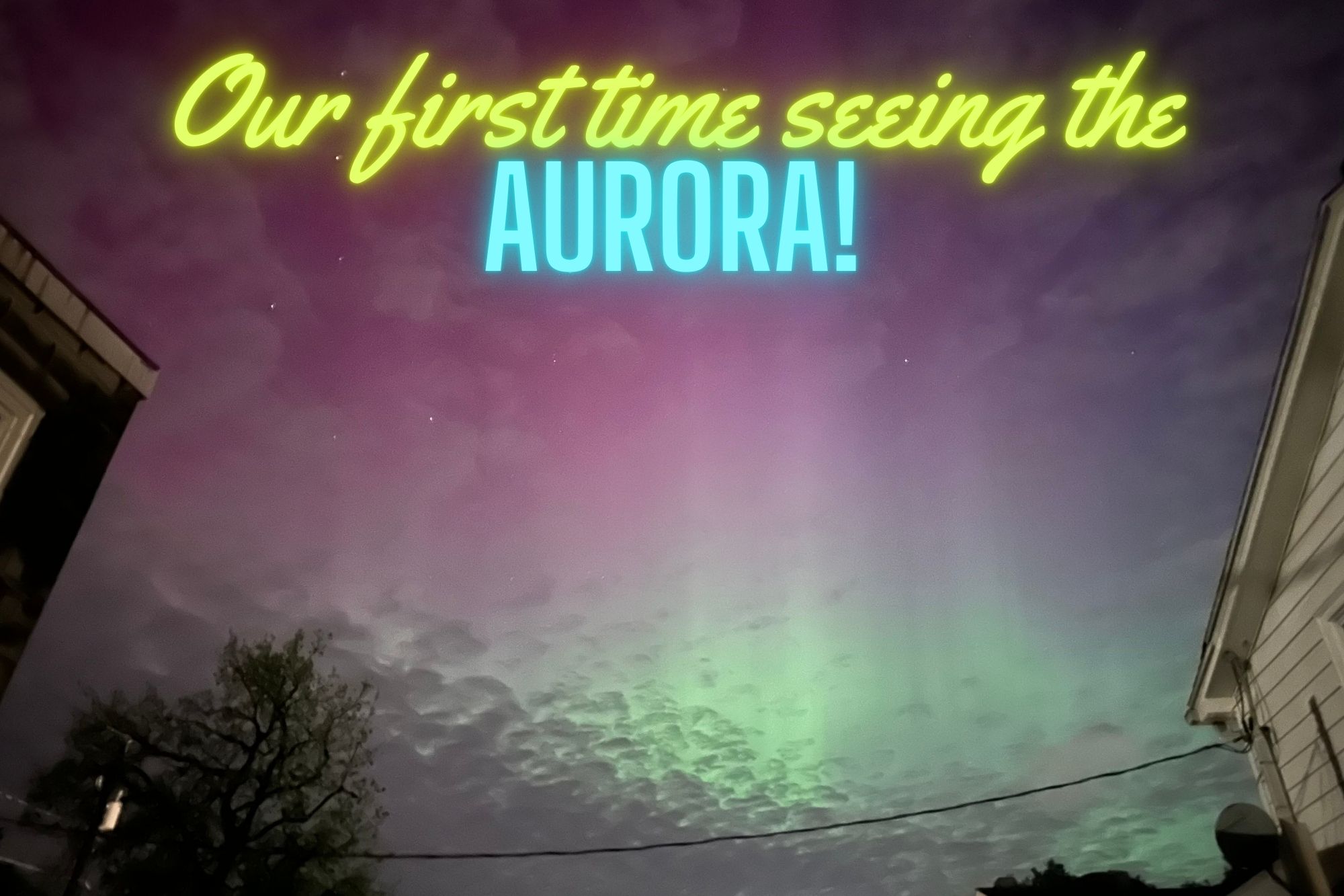
[00:01:02] And actually it’s not a weather story of anything here on planet earth, but rather in space. On May 11th, a series of solar storms hit Earth and it ended up causing the best Northern Lights show in 35 years, and it was visible by the naked eye almost anywhere in the United States, didn’t matter if you were in the northern part where you usually see them, I had friends in Mobile, Alabama who saw the Northern Lights, I saw pictures from Miami, even pictures from Cuba, Mexico, it was just crazy.

[00:01:33] It was widespread, visibility much more than usual. And of course Like I had expected, what would happen if something like this would ever occur, it was cloudy, and we had a persistent easterly flow across most of the Mid Atlantic, the Northeast. If you were anywhere in that area, you could not see anything for the entire show. Which is what I thought would happen, and the pictures were just so amazing, but I couldn’t see anything. So me and my mom even drove northward, hoping that maybe if we get far enough north and into the mountains, maybe we get above the stratus deck, that failed. We saw what we thought might’ve been lights, but it could just been the reflection of the city lights on the low clouds.

[00:02:17] We were just weren’t sure. And, so we just gave up, you know, Hey, that’s the way it happens. So around 2:30 in the morning of the, I believe it would’ve been the 12th then, I was walking to the convenience store and I figured, okay, we’re not gonna actually see anything here tonight. So on the way back I saw that the clouds were breaking and I figured, you know, this is probably the way it’s going to happen. And of course, it’s gonna happen just as the show’s over. So I turned the corner and in my back door, which would face North, and I see a faint green glow.

[00:02:49] And I’m like, I cannot believe, is that the aurora? Is that what I’m seeing? And sure enough, they tell you to take your smartphone camera, if you think you see it and point it, because the exposure time is longer than the human eye. So it picks it up. So once I did that, it showed so much more. There was pillars, the pillars that you see, which you can see in the pictures that I’ve attached to the show notes.

[00:03:14] They were bright green and pink. If you’d even see it moving, which they say that sometimes you’ll be able to watch the Northern Lights move if you watch it long enough. I had to even wake my mom up, just so she would see it. And I thought, never was going to see it in person, but at least I can Mark that off the list, and it was just a great experience, and we’re still headed into the solar maximum here in the next couple of months into 2025.

[00:03:41] So there’s plenty more opportunities. Probably nothing like what we had this past month, but it could be something that, again, for at least the northern half of the U. S. And hopefully at that time we can see it here in Pennsylvania, and it won’t be cloudy.

[00:03:55] So if you saw the Aurora, I would love to know what you thought, and please, send us an email. You can send it to [email protected]. Again, that’s [email protected]. We’d love to hear your stories.

[00:04:10] So switching gears, and I did say that, I wanted to talk about what’s been going on. Four months without any episodes and I had said that we had everything lined up things changed dramatically.

[00:04:21] A lot of things Happened with the website. Google decided to change their algorithm Totally without telling us really anything and we lost a lot of our traffic. So it caused us to rethink everything, and one of the big changes that we made is videos. Kind of does what we originally planned for this podcast to do. So our focus right now is going to be that, pictures speak a thousand words as they say.

[00:04:48] We’re going to experiment with that, but we didn’t want to completely forget about the podcast, so we’re going to experiment with this as well. The good thing is that we somewhat have episodes already recorded. So we just need to get this one recorded first, just to give you an update on how things are going to change a little bit. Once every two weeks to a month is hopefully the frequency that we’ll be posting new episodes.

[00:05:12] Also along with the podcast changes, you can go to weatherwhys.Show, that’s W H Y S. And you can check that and we also redesigned theweatherstationexperts.Com. It’s a visual first design.

[00:05:25] We worked on site speed. Things are getting a lot faster. A lot of those things are things that Google’s looking for right now. So we’re trying a bunch of things to see what Google wants because they kind of just changed everything on us, and we had Little to no warning. So we’re just guessing right now. That’s pretty much what we’re doing.

[00:05:41] Also, when you go on our website, as well subscribing to the podcast, you can subscribe to the weather station experts. Click on subscribe on the menu on the upper right hand corner, that will give you access to exclusive content, including infographics. Added that as well the videos you don’t have to subscribe to watch But we might even add some exclusive podcast episodes.

[00:06:03] We haven’t thought too much about that. So we’re gonna Think of new things and we’ll keep you updated anything that changes. Of course, we’ll mention here in the podcast.

[00:06:12] That’s all the time we have for this episode. Things went really well for not having a script, so maybe we’ll do it again sometime, but if you have any questions, comments, let us know, [email protected] is our email address. Thanks for tuning into the Weather Whys Podcast, and stay weatherwise.

Key Points

  • 0:57 – The Best Northern Lights Show in four decades, and we almost missed it
  • 4:10 – Four months without episodes. Where have we been?
  • 5:25 – Google forced us to rethink The Weather Station Experts completely, so an update on what’s new there

Show Notes

We think we’ve finally mastered the software enough that the levels should be much better than in the past. We’re certainly still learning here.

We may have just witnessed some of the strongest auroras in 500 years, Space.com – May 21, 2024. NASA statement: “With reports of auroras visible to as low as 26 degrees magnetic latitude, this recent storm may compete with some of the lowest-latitude aurora sightings on record over the past five centuries, though scientists are still assessing this ranking.”

The pictures:

Check out our videos page on The Weather Station Experts

Here’s our infographics page

We plan to attempt to do at least one podcast episode a month at minimum, but more likely two. We already have future episodes recorded!

We’d always love to hear what you think!

Weather Whys Podcast Episode 2: California is Drought Free. But For How Long?

Lake Mead during peak of California's most recent drought
The Weather Whys Podcast
Weather Whys Podcast Episode 2: California is Drought Free. But For How Long?
Loading
/

As the West Coast reels from a historic megadrought, California faces a pivotal question: Is the dry spell finally over? In this riveting episode of the Weather Whys Podcast, join host Ed Oswald as we delve into the recent meteorological phenomena that have soaked the Golden State.

Unpack the science behind atmospheric rivers, the lifeblood of California’s water supply, and understand their role in the dramatic resurgence of reservoirs like Lake Oroville. Discover how a tropical twist and heavy Sierra Nevada snows have contributed to the state’s water revival.

But has the deluge been enough to turn the tide on two decades of drought? We’ll explore the complexities of groundwater mismanagement and the precarious balance between replenishment and depletion. With the potential for another wet winter on the horizon, thanks to El Niño, California’s weather fortunes may be changing – but the long-term battle against drought and climate change continues.

[00:00:04] Welcome to the Weather Whys podcast. I’m your host Ed Oswald from the Weather Station Experts. In this episode, we’re discussing California’s mega drought. Is it over? I’m glad you could join us. Let’s get started.

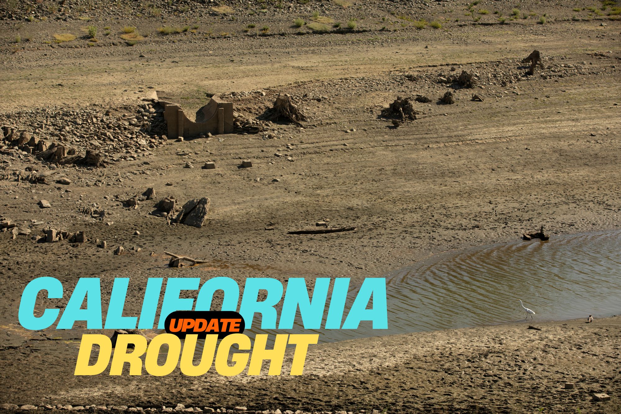
[00:00:20] The sound of rain. Most Americans take this for granted, but rain is a valuable commodity for those living in the West. And more often than not, there’s too little of it to go around. That was the case across California over the past two decades. Say for a brief respite here and there, rainfall has averaged well below normal.

[00:00:39] This lack of rain Reservoir levels fell to the lowest recorded levels in 2023, and it seemed as if California and the rest of the West were heading for a serious water crisis. And then the rains came. Starting in late December, a series of strong storms pummeled California. Places that only see a few inches of rain in an entire year got that in a single storm.

[00:01:01] And it wasn’t just one, over a dozen storm systems struck the state between December and March. These storms found their way to California along an atmospheric river. Atmospheric rivers are narrow bands of wind that transport a lot of water vapor from the tropics to more temperate climates. They can be several thousand miles long and only tens to hundreds of miles wide.

[00:01:22] Most of you will know these events by their nickname, the Pineapple Express. The name comes from where it originates, near Hawaii. Reservoirs that have been critically low rose quickly. Perhaps the most significant change was Lake Oroville in Northern California. In September 2021, water levels dropped to 628 feet, their lowest level ever.

[00:01:41] By June of the following year, though, the lake was at 100 percent capacity, rising some 300 feet over that period. Historic snows in the Sierra Nevada were an added benefit. After years of little snowfall, some areas saw 200 300 percent of their normal snowfall, continuing into March and April in some places.

[00:02:01] And for the first time in years, a snowpack made it through the hot California summer, critical to keeping water flowing during those dry summer months. Then who would’ve expected a tropical system to strike Southern California? That was an added bonus and helped alleviate the long-term drought the state had been experiencing.

[00:02:18] So after all this, can we say that California’s mega drought is over? We’ll discuss that more after the break.

[00:02:26] The Weather Whys Podcast is brought to you by the Weather Station Experts. Home Weather station is a great way to expand your weather knowledge and the weather station experts has real hands-on reviews so you can make the right choice.

[00:02:37] Visit us on the web at theweatherstationexperts.com. Welcome back. Even with all the rain that California has been seeing, is the state truly in the clear? Let’s take a look at the bigger picture. First, ground water mismanagement has left some underground aquifers so dry that they’ve collapsed from the weight of the ground above them.

[00:02:58] In some areas of California, the ground is actually sinking because of this. Even in winter, as extreme as this past one, is not enough to replenish these aquifers. That will take multiple seasons. In other words, if the state swings back to dry conditions again, the megadrought will come roaring back. But a few things are working in the state’s favor.

[00:03:18] We’ve already mentioned Hillary. That storm gave unexpected replenishment to reservoirs across SoCal at a time when little, if any, rainfall typically falls. And while early on storms have targeted the northwest, another area experiencing extended drought. It appears at least a normal if not another wet winter is in store thanks to the effects of El Niño, according to meteorologists.

[00:03:40] That’s very good news. But we must keep in perspective the historic nature of this megadrought. Prior to last winter, climate experts found that the drought was more severe and long lasting than any other in the past 600 years. Then there’s the groundwater mismatchment. The ground can’t hold as much water as it used to due to the loss of those aquifers.

[00:04:00] Even if these were to refill completely, California would still have less water overall stored for the inevitable dry weather the states always experienced. Combined with the effects of climate change, the normal swings of California’s climate have become much more pronounced. While we’re apparently in a period of higher precipitation, it would have to continue past this winter to truly make a difference.

[00:04:21] So while California might be out of drought now by definition, the threat of it will always be around. But at least we’ve stepped back from the ledge, and Californians won’t be forced to make tough decisions. At least for the near future.

[00:04:42] You have just listened to the Weather Whys podcast. I’m your host, Ed Oswald.

[00:04:48] Weather Whys is a production of the Weather Station Experts and OzMedia. Today’s episode was produced by Derek Oswald and myself from our studios here in West Lawn, Pennsylvania. If you’d like to learn more about Weather Whys, please visit our website at weatherwhys.show. On our website, you can listen to this episode and any past episodes and also get in touch.

[00:05:10] We’d love to hear from you. Don’t forget to subscribe to Weather Whys to get the latest episodes as soon as we release them. You can find those links to Apple Podcasts, Spotify, Google, and more on our website as well. That’s all for today. Be sure to join us again next time when we take a look at winter’s hidden danger, the snowstorm.

[00:05:27] Thanks for listening, and stay weatherwise.

Key points

0:21 – California’s drought was setting records
1:01 – Over a dozen storm systems struck California between December and March
2:43 – Is the California megadrought really over?
3:42 – Keeping the historic nature of the megadrought in perspective

Show Notes

California’s drought was historic:

Called the Pineapple Express: “because moisture builds up in the tropical Pacific around Hawaii and can wallop the U.S. and Canada’s West Coasts with heavy rainfall and snow.”

Historic snows in the Sierra Nevada. Check out the difference in these satellite images!

California’s water problems – see this NYT article

Weather Whys Podcast Episode 1: 2023 Was Crazy Weatherwise. 2024 Will Start the Same.

The Weather Whys Podcast
Weather Whys Podcast Episode 1: 2023 Was Crazy Weatherwise. 2024 Will Start the Same.
Loading
/

Join us on the first episode of the Weather Whys Podcast, where host Ed Oswald from The Weather Station experts, takes us through a riveting review of 2023’s extreme weather events. From record-breaking rainfall to scorching heatwaves, wildfires to flash droughts, and historic hurricanes, we delve into the forces behind these phenomena, including the impact of El Niño and climate change. Tune in for a forecast of what’s to come in 2024 and learn why understanding weather patterns is more crucial than ever.

[00:00:00] Ed Oswald: Welcome to the Weather Whys Podcast, I’m your host Ed Oswald from The Weather Station Experts. In this episode, we’ll take a look at this year’s crazy weather and why 2024 will start just as crazy. I’m glad you could join us, let’s get started.

[00:00:21] Again, thanks so much for joining us. This is The Weather Whys Podcast Episode 1, our first “official” episode. With the end of the year coinciding with the first episode of our podcast, we thought it logical to start out with a year in review. And what a year it was weatherwise. If you were out west, you’ll remember this sound from last winter:

[00:00:42] Rain, and lots of it, fell across much of the Southwest to start the year, even New York city by years end had its most rainfall in a day ever.

[00:00:52] But much of the year it felt like the world was on fire, with record breaking heat.

[00:00:56] Researchers believe the three warmest days in the past 150,000 years happened this summer, spurring a wildfire season that was unprecedented in the number of Americans it affected. While California’s rainy winter kept their fire season to a minimum, unusually dry weather across Hawaii and Eastern Canada spurred massive wildfires.

[00:01:15] Thick wildfire smoke choked off major Eastern us cities affecting millions, but this list is just a small part of what happened. Worldwide, 2023 will be the hottest year ever.

[00:01:26] So what drove all this craziness? El Niño. For years, we have been dealing with La Niña, which are cooler than normal waters in the equatorial Pacific ocean. While La Niña brings her own set of wild weather, it’s far less severe, and far less widespread.

[00:01:41] El Niño is the opposite, where the equatorial Pacific waters are warmer than normal. The 2023 event is what’s called a “super El Niño,” meaning water temperatures are much warmer. . And although we’re drastically simplifying it, warmer waters make it easier for water to evaporate, which in turn puts more water vapor in the air. This is partially the reason for many of the extreme rainfall events we’ve seen worldwide.

[00:02:03] On the flip side, this excess rain must be balanced out with excess dryness elsewhere. El Niños are infamous for widespread heat and drought as well. And then on top of this, there’s climate change. The world has already warmed at nearly a degree Celsius since the 1960s. The 2023 El Niño added a half degree on top of that.

[00:02:22] The result was a preview of a world where 1.5 degrees of warming isn’t a record, but a daily reality. while this El Niño event may be peaking, weather patterns will continue to be affected.

[00:02:33] As winter arrives in the Northern Hemisphere, summer begins in the south. This El Niño event didn’t start until April, so the Southern Hemisphere has yet to have its El Niño summer.

[00:02:43] Summer will coincide with peak strength, so the effects will likely be significant. Australia experiences extreme heat and drought during El Niños, often accompanied by significant wildfires, but we’ll save that for a future episode. So what were the five biggest weather events of this crazy year? We’ll have more about that after the break.

[00:03:02] The Weather Whys Podcast is brought to you by The Weather Station Experts. A home weather station is a great way to expand your weather knowledge, and The Weather Station Experts has real hands-on reviews so you can make the right choice. Visit us on the web at theweatherstationexperts.com.

[00:03:18] Thanks for staying with us. As I said before the break, we’re counting down the biggest weather stories of the year.

[00:03:25] Starting out in January, the atmospheric river events in California certainly belong on our list. I’m not going to spend too much time on this as its subject of our next episode, but California’s years long drought ended in spectacular fashion.

[00:03:37] This certainly was the big news story for the beginning of 2023. Although it started in December, as late as March portions of California were still dealing with heavy rains and snows.

[00:03:47] But while rainy weather is normal in California during the winter, elsewhere winter was anything but. Some Northeast cities saw little of any measurable snowfall, with temperatures averaging well above normal. In fact, Philadelphia went an entire winter without more than one inch of snow in a single snow storm, a streak that now has lasted nearly two years.

[00:04:06] Here at our weather station, the average winter high was 47 degrees. While that might seem cold to some of you, it’s well above normal here by about five degrees or so.

[00:04:15] The weather did calm down a bit during the spring. However, things began to dry out and we began watching a flash drought spread across the Northeast and Eastern Canada. Flash droughts occur when weather patterns get “stuck,” causing an area to receive an extended period of little rainfall.

[00:04:31] That was the case here. We received just .22″ of rain in May and a little over an inch in June, continuing a dry start to the year partially due to the rainy weather out west.

[00:04:41] This set the stage for a memorable event in June for much of the Northeast. The same dry conditions in the Northeast were occurring in Eastern Canada as well, but much more severe. By late spring, tens of thousands of acres of Canadian forest were burning out of control.

[00:04:55] An unusually strong cold front swept across the Northeast in the first part of the month. Instead of just cool, dry air. These Northeast winds also brought the smoke behind it so thick that it rolled in like fog.

[00:05:06] Smoke filled the air in New York City, and skyscrapers disappeared into the thick haze. Here in Pennsylvania, it wasn’t much better: for two days straight smoke was in the air thick enough that you could even see it inside the house.

[00:05:18] But the summer had more in store. By July, sea surface temperatures in the Florida keys rose above 100 degrees for the first time in recorded history after weeks of relentless heat and little rain, and this is at a time when afternoon thunderstorms are typically a daily occurrence.

[00:05:32] These warm waters made rapidly intensifying tropical cyclones a constant risk, some in places you wouldn’t expect.

[00:05:38] Even in the Eastern Pacific water temperatures were running much above normal, and that set the stage for a tropical storm in Southern California of all places in August.

[00:05:47] Listeners on the West Coast know that rain is a rarity during the summer months, much less a land falling tropical system. While Hillary weakened to a tropical storm before making landfall, its effects were extreme.

[00:05:58] For the first time ever, the Southern California coast was placed under a tropical storm warning. One to three inches of rain fell across much as sound on California, with as much as the foot in the mountains. Death valley received an entire year’s worth of rainfall in just a single day.

[00:06:13] While rain in the summer is rarity and arguably a blessing for a state where water comes at a premium, it was too much at once. Flooding was widespread, and damage was extensive.

[00:06:23] But the Pacific ocean wasn’t done yet. October’s hurricane Otis was memorable for its rapid strengthening, which even surprised meteorologists.

[00:06:31] For much of the time after it formed on October 15th through the 22nd, Otis wasn’t even named, or even a tropical depression . In fact, several times it looked like the storm would dissipate altogether. But late on the 22nd, it finally gained tropical storm status, and its name Otis, starting a historic intensification phase.

[00:06:48] At the same time, wind currents were directing Otis northwestward towards the Mexican coast. By the afternoon of the 23rd, it was already a major category three hurricane with winds of 125 miles an hour. Otis continued to strengthen through the 25th when it reached category five status with winds of 165 miles an hour. It maintained this strength through landfall in the resort city of Acapulco.

[00:07:13] Otis is the first Pacific category five hurricane to make landfall, and by far the costliest: damage was estimated at $16 billion, predominantly in and around Acapulco. Then there’s the strengthening: 115 miles per hour in 24 hours made it the second fastest strengthening hurricane in recorded history, and that’s anywhere on the planet.

[00:07:33] There’s many more, but we’re running out of time for this episode. We’d like to hear from you. If you agree or have other events to share, email us at [email protected]. We might share your feedback in a future episode.

[00:07:49] You have just listened to the Weather Whys Podcast. I’m your host, Ed Oswald. Weather Whys is a production of The Weather Station Experts and Oz Media. Today’s episode was produced by Derek Oswald and myself from our studios here in West Lawn, Pennsylvania.

[00:08:03] If you’d like to learn more about Weather Whys visit Weather Whys that’s W-H-Y- S.show. On our website, you can listen to this episode at any past episodes and get in touch. We’d love to hear from you.

[00:08:15] Don’t forget to subscribe to Weather Whys to get the latest episodes. As soon as we release them, you can find those links to Apple Podcasts, Spotify, Google, and more on our website as well.

[00:08:25] That’s all for today. Be sure to join us again next time, when we take a look at California’s megadrought. Thank you for listening.

Key Points

0:39 – A quick summary of the year in weather
1:26 – El Niño is to blame
3:25 – Our picks for the biggest weather stories of 2023

Show Notes

New York City tops world’s worst air pollution list from Canada wildfire smoke – CNBC June 7, 2023

Canadian wildfires: what we saw here in eastern Pennsylvania!

What will winter bring to Sacramento after a year of heavy rain and snow in California?Sacramento Bee, October 2, 2023

Not one, but two memorable Eastern Pacific tropical systems, Hillary (southern California, during dry season!) and Otis (Acalpulco)

What do you think? Let us know!

Weather Whys Podcast Episode 0: Hello World!

The Weather Whys Podcast
Weather Whys Podcast Episode 0: Hello World!
Loading
/

Welcome to the inaugural episode of Weather Whys, where curiosity meets meteorology! Join host Ed Oswald from the Weather Station Experts as he introduces a podcast dedicated to unraveling the mysteries of weather and climate.

Discover what makes Weather Whys a unique addition to your audio library, with its commitment to education, factual science, and family-friendly content.

In less than ten minutes every other Wednesday, you’ll gain insights supported by scientific research, designed to fit easily into your day. Tune in for our first season, filled with intriguing episodes that promise to answer all your weather ‘whys’. Don’t forget to subscribe and connect with us at [email protected]. Stay tuned for a weather-wise journey through the seasons!

[00:00:00] Ed Oswald: ​Welcome to the Weather Whys Podcast. I’m your host Ed Oswald from The Weather Station Experts. I’m glad you could join us and thanks for taking the chance on a brand new podcast.

[00:00:20] So why a podcast? When we started The Weather Station Experts it was more about weather station reviews. Now that we’ve been in business for three years, we have all kinds of weather and climate content, including a ton of educational content so an audio podcast seemed like a great way to connect with our readers and put a voice to what you’re reading here on the site.

[00:00:40] And as for the name, Weather Whys and that’s spelled W-H-Y-S, our name fits our mission. We are here to answer all the why’s and what’s you may have ever had about the weather. So, what can you expect from us? first and foremost, this podcast will be educational. We want you to learn something each time you listen, and not have to spend half your day doing it. Most of our podcasts will be less than 10 minutes, and that will make it easy to fit into your listening schedule.

[00:01:05] Next, Weather Whys will always be factual. and facts matter. Science can’t exist without facts. We’ll always present you with information that’s well supported by scientific research.

[00:01:15] And finally we taken great care to ensure that Weather Whys is appropriate for everyone. Content will be suitable for both kids and adults. We will keep things simple where possible. New episodes will be published every other Wednesday with occasional bonus video content from time to time. We’ll also build some exclusive content, but since it’s very early, stay tuned. Our first season, we’ll run through the beginning of summer but we have ideas for future episodes through nearly all of 2024.

[00:01:42] Finally, before we wrap up our first episode, we’d love to hear from you.

[00:01:46] You can email us at [email protected] and please subscribe wherever you listen to podcasts. Also, bookmark weatherwhys.show that’s w H Y S to get to our podcast homepage easily.

[00:02:00] Thanks for listening. We’re excited to get started.

[00:02:04] You have just listened to the Weather Whys Podcast. Weather Whys is a production of The Weather Station Experts and Oz Media. today’s episode was produced by Derek Oswald and myself from our studios here in West Lawn Pennsylvania.

[00:02:16] If you’d like to learn more about Weather Whys visit weatherwhys.show. On our website, you can listen to this episode and any past episodes, as well as get in touch. We’d love to hear from you.

[00:02:27] Don’t forget to subscribe to Weather Whys to get the latest episodes as soon as we release them you can find those links to apple podcasts, Spotify, Google, and more on our website as well.

[00:02:37] That’s all for today, be sure to join us again next time when we take a look at 2023’s wild weather. I’m your host, Ed Oswald.

[00:02:43] Have a great week and stay weatherwise.

Chapters:

  • Introduction to Weather Whys
  • The Mission Behind the Podcast
  • What to Expect from the Episodes
  • Educational and Factual Content
  • Family-Friendly Programming
  • Publishing Schedule and Exclusive Content
  • Invitation for Listener Interaction
  • Podcast Production and Subscription Information
  • Teaser for Next Episode on 2023’s Wild Weather